Foreshore Inventory and Mapping (FIM) is a method of collecting information on the current state of the foreshore, or shoreline, of a lake. The most recent FIM survey report (2016) provides an updated summary of the condition of the Okanagan Lake shoreline, and compares the 2016 landscape with earlier data to allow the research team to measure the environmental impacts that accumulate from lakeshore development over time.
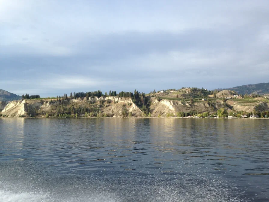
 It took many long days on a boat to survey the 290 km of shoreline along Okanagan Lake. After all of the information was reviewed, the research team concluded that over the seven year study period (2009 – 2016), 4.1 km or 1.42% of the natural Okanagan Lake shoreline was lost or permanently altered. Key changes to the shoreline included removal of native vegetation, construction of 165 retaining walls that altered 1.45 km of shoreline, 164 new docks, 9 new marinas, more road access, and general landscaping. Lakebed materials were also disturbed along 4.1 km of the shoreline. Development has been an important cause of Okanagan Lake natural shoreline loss (e.g. rural and residential land use). The researchers determined that 59% of the shoreline of Okanagan Lake has already been developed.
This collaborative research project was initiated by the Regional District of Central Okanagan, and facilitated through a partnership with the Okanagan Collaborative Conservation Program (OCCP) through the support of Environment and Climate Change Canada, the South Okanagan Collaborative Conservation Program (SOSCP), the Okanagan Basin Water Board (OBWB), and the City of Vernon. These partners recognized the value in expanding the mapping initiative to include all of Okanagan Lake, and were able to collaborate across regional boundaries to complete this inventory. OCCP would like to thank all of their volunteers, who contributed over 300 hours of their time in the first two weeks of September to assist Ecoscape Environmental Consulting in data collection. The team was also able to expand upon the project to assist the OBWB in mapping invasive Eurasian milfoil in Okanagan Lake. The FIM methodology was jointly developed by Ecoscape Environmental Consultants and Fisheries and Oceans Canada for use on freshwater lakes in British Columbia.
A FIM survey was completed on the central Okanagan portion of Okanagan Lake In 2004. The FIM surveys were expanded in subsequent years through collaborative efforts to cover the shoreline of the entire lake, providing local governments with a baseline record of the condition of the whole shoreline. These kinds of mapping projects provide governments with information about what actually exists on the landscape, to inform policies and development decisions. A wide range of environmental mapping, including FIM data, is available on the RDCO GIS mapping website, and the Okanagan Habitat Atlas.
The 2016 FIM Update Report provides key information to resource managers to promote and implement better shoreline management. Understanding the rate of change can assist in developing plans that preserve shoreline habitat. The main recommendations of the report outline the need for collaborative action, an Okanagan Lake shoreline management plan, and more active support and engagement for education and outreach initiatives around shoreline management. Potential future steps for the FIM project partners, depending upon funding, include using the FIM data in the development of a Floodplain Management Plan, comparing the 2016 data to the conditions of the lakeshore after this season’s floodwaters recede, and providing information to lakeshore landowners that will assist them with foreshore protection.
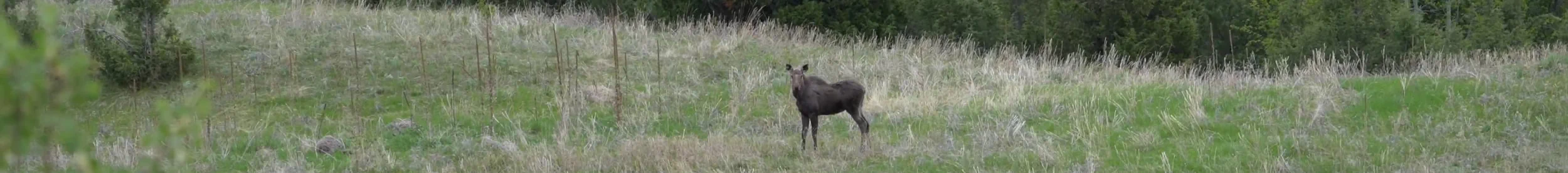
If careful management to maintain natural habitat along the waterfront does not occur, there is a high risk that key habitat for species like kokanee salmon, and ecosystem services like water filtration, and flood protection may be permanently lost over time. Threatened and endangered species are very sensitive to disturbance, and often have a limited capacity to respond to changes. “Each small change to the natural areas around the lake has a negative cumulative effect on the natural ecosystem to function and provide services such as clean drinking water, water infiltration, flood control, and critical habitat for fish and wildlife.” says Jason Schleppe, Senior Biologist with the FIM project. “At the current rate of land development, the natural areas around the lake that are not located in parks or protected areas could be completely lost to development in 40 to 160 years.” This large range reflects the fact that development rates go up and down from year to year. However, without any changes, all of the remaining unprotected natural shoreline along Okanagan Lake could be lost within the next one or two generations. “The foreshore has significant ecological, cultural, and economic values, and is extremely sensitive to disturbances.” says Scott Boswell, Program Manager for OCCP. “Loss of these key values would impact the local economy, and the health and well-being of the communities in the region.”
Future natural shoreline loss can be prevented or reversed by replanting and retaining a natural buffer area along the waterfront during development. These permeable and absorbent greenspaces allow lake waters the room to rise and fall with the changing seasons, and provide a wide range of other benefits. Okanagan shoreline planning would benefit from a collaborative effort by all Okanagan individuals and communities, to preserve an important part of our social-ecological heritage and important driver of our economy. Many people are already working together to enhance shoreline protection, but much of the responsibility also lies with individual landowners to preserve shoreline over the long term.
February 2020 Update: Implementing the FIM Report Recommendations
To increase public awareness of the importance of protecting and restoring shoreline ecosystems and to showcase how shorelines can be restored, OCCP and its partners developed an environmental and outreach program. This included mailing the brochure "A Resource for Lakeshore Living" to 2800 landowners around the lake.
An online version of the brochure was also created: A Resource for Okanagan Lakeshore Living (note: opens new tab)
This resource focused on best management practices to protect water quality, mitigate the effects of flooding and erosion, and maintain habitat connectivity for wildlife and climate change resilience.
Bertram Creek Restoration Demonstration Site
OCCP supported on-the ground habitat restoration and developed interpretive signs for Bertram Creek Regional Park. The park shoreline was severely eroded by the flooding of Okanagan Lake in 2017 and 2018. This demonstration project allows the public to see how they could enhance their own shoreline properties using natural flood measures and native plants.