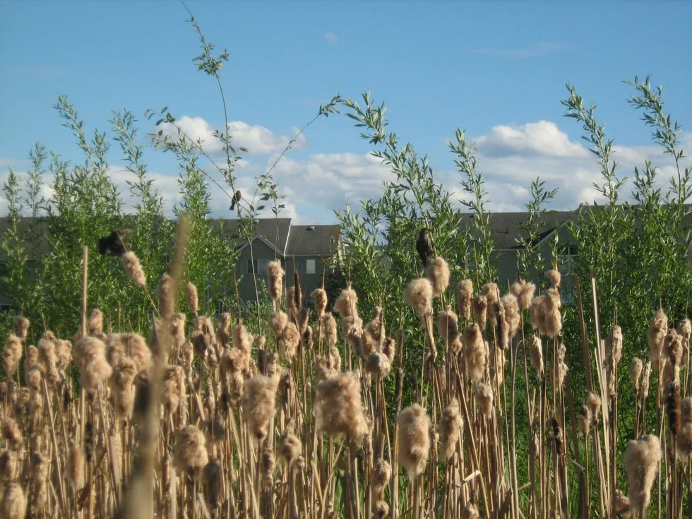
Ecosystems in the Okanagan Valley have been heavily impacted by land development, and those that remain are at risk of further fragmentation and loss. With only small remnants of some ecosystems remaining such as wetland at 10% it is increasingly important for local governments, Indigenous communities, and the province to have tools to better understand and monitor land changes.
The OCCP is working with UBC researchers, data programmers, and an advisory team of planners, qualified environmental professionals (QEPs), and provincial staff to develop a conservation planning tool for the Okanagan region. The tool will support local government environmental impact assessment processes by providing new spatial information, reports and mapping that is critical for conservation planning. The tool will initially identify the cumulative impacts of proposed developments and evaluate the impacts to habitat connectivity across the region. This information will allow planners to make more informed decisions and ensure policies and guidelines are in place to protect our remaining natural areas.
While the current tool is specifically designed to the Okanagan region, the project team is aiming to create a platform that can be easily adapted to other regions in BC.
The project is funded by Environment and Climate Change Canada.


