Methodology ideas for Geolive Connectivity Corridor Project – Very Rough
January 20, 2010
GCC
Context Notes:
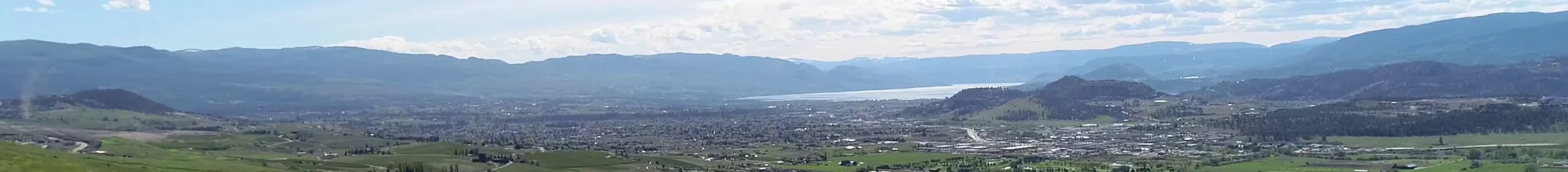
- Focus connectivity corridor investigation to areas that have critically reduced connectivity (CRC?), i.e, are highly fragmented, predominantly anthropogenic landscapes and where these areas lie between large intact natural landscapes containing species that require or would benefit from the ability to move back and forth
- A goal for large intact natural landscapes is to prevent or reduce fragmentation caused by anthropogenic development. GCC is working on some guiding principles for how this can be addressed (Geolive would be a great tool for illustrating these principles…if you would be interested in pursuing this as a project let me know)
- General agreement in the science community is that large cohesive areas are more beneficial to conservation than many small areas of equal total amount; and that core area protection has a stronger case for conservation than do corridors
- Where core area retention is no longer possible, e.g, in the critically reduced connectivity areas, then small patch retention for features with some potential for stand-alone integrity (e.g., certain wetlands), and natural / semi-natural area retention for maintaining connectivity between adjacent intact core areas, are the only remaining options and merit implementation, especially if they can be done with low or acceptable monetary/social cost
- It is difficult to find a comprehensive scientific rationale for choosing specific/narrow corridors through large intact areas. On the other hand, a supportable rationale for where a corridor should go is easier to come by in highly fragmented areas where the options are much more limited; this is therefore why we suggest focusing the corridor delineation exercise on critically reduced connectivity areas
Other Notes:
- When and if we are able to identify species, e.g, spadefoot toad, or species groups, e.g., amphibians, that we suspect and/or have documented support for having limited mobility and stringent corridor needs, than these make good focal species for considering in corridor identification
- On the other hand, we should feel less need or concern to address connectivity needs for species that are highly mobile and are largely unbothered by adjacent human disturbance such that they are able to move relatively easily through anthropogenic landscapes (although some anthropogenic features – deer fences, major highways – are formidable to most if not all terrestrially bound animals), or for species that are unlikely to use corridors
- If a genetically viable metapopulation for a low mobility species is contained within a core area then corridors to other core areas may have limited use for these species and/or be unnecessary for their life requirements
Key Steps for Geolive Project
Part A: Critically Reduced Connectivity Areas
Part B: Broad directional Connectivity within currently intact areas – Identifying a “Corridor Zone”
Part C: Fine Scale / Site-Level connectivity within currently intact areas
Part A: Identifying Critically Reduced Connectivity Areas and Setting Objectives and Actions
- Identify Core Areas (GCC can do this) and critical reduced connectivity areas (GCC can also take a first go at this)
- For each critical reduced connectivity area (CRCA) identify the primary direction of connective needs between two or more core areas. (GCC can also have a go at this)
- Delineate detailed corridor options in reduced connectivity areas; in some cases such as in the Vernon landing area this has already been done (by Alison Hainey). Discuss feasibility of implementing/maintaining these corridors. Identify steps needed to secure corridors. Also identify corridor receiving areas, areas where corridors open up in the core areas. These receiving areas need to be flagged and used in future planning so that subsequent development does not interfere or “cut-off” the corridors from the main core areas which they are intended to connect. Identify steps need to have receiving areas recognized in future planning
Part B: Broad directional Connectivity within currently intact areas – Identifying a “Corridor Zone”
- dispersal
Part C: Fine Scale / Site-Level connectivity within currently intact areas
A secondary connectivity exercise would be to focus just on water features and look at the path of least resistance (i.e., slope, contours, etc.) to connect each pond to at least one other pond. However, I think this is something that we will address in the GCC principles for reducing/preventing impact on core areas.
GCC/others? identify core intact areas (GCC can identify)
GCC/others? Identify critically reduced connectivity areas
Group identify core directional connectivity / main conduits through core intact areas
Need lit review on corridor/connectivity/landscape ecology terminology AND on the state of the science of corridor ecology