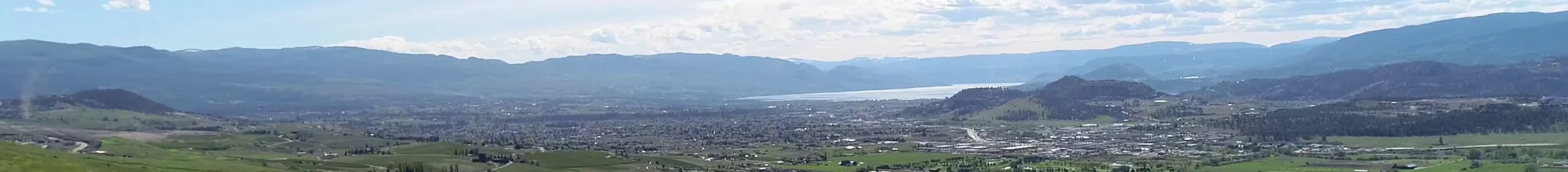
"This project includes Terrestrial Ecosystem Mapping with a Sensitive Ecosystems Inventory theme and Wildlife Habitat Assessments for the Coldstream Vernon area of the north Okanagan. The mapping was completed in 2007 at 1:20,000 scale and covers portions of mapsheet numbers 082L014, 082L015, 082L024, 082L025, 082L034, and 082L035. The project follows the Standard for Mapping Terrestrial Ecosystems in BC, 1998 and The Standard for Mapping Ecosystems at Risk, 2006"
Authors: Iverson, K. and P. Uunila
See the full report (via EcoCat). Note that the page includes links to Volumes 1, 2 & 3 of the report (all PDF files).
Volume 2: Terrestrial Ecosystem, Terrain, Terrain Stability, and Soil Erosion Potential Mapping, and Expanded Legend
From the Introduction:
"Volume 2, this report, provides detailed information on terrestrial ecosystem mapping (TEM) methods and gives descriptions of each of the ecosystems that occur within the sensitive ecosystems or other important ecosystems categories described in Volume 1. Appendix B of Volume 1 provides tables that can be used to cross-reference between sensitive and other important ecosystems units and terrestrial ecosystem map units in this report. This report describes the natural setting of the study area and details methods, results and recommendations for bioterrain, terrain stability and soil erosion potential mapping and ecosystem mapping. It is intended for use by professionals that require more detailed ecological and terrain information."