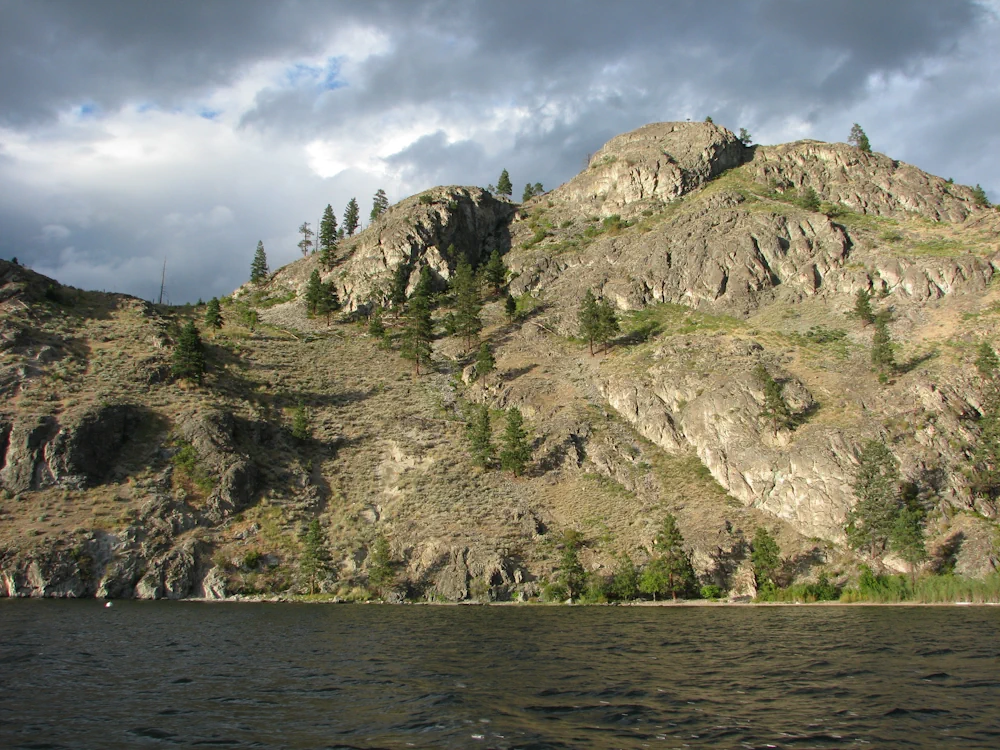
Foreshore Inventory Mapping often referred to as FIM is a geo-referenced record of the foreshore. It provides a baseline for regulatory monitoring and enforcement, future restoration, and estimating the cumulative impact of development on species such as kokanee. The data analysis involves tabulating the number of docks, shore type, land use, riparian condition, shoreline substrate composition, lakeshore structures, level disturbance and other variables for each shoreline section.
FIM also involves making a video of the entire shoreline by boat and embedding GPS coordinates onto the video images. This recent video and videos of previous projects can be viewed on the Okanagan Ecosystem atlas on the Okanagan Conservation Planning (OKCP) portal.The current updating of the Central Okanagan Foreshore Inventory Mapping data will allow for the compilation of the three areas previously completed - the south, central and north parts of Okanagan Lake - into one file and allow for reporting on the lake as a whole.
Aquatic Habitat Index (AHI) for Okanagan Lake
Another part of the project involves the creation of an Aquatic Habitat Index (AHI) for Okanagan Lake using data collected from the FIM projects and other data sources to develop and rank the sensitivity of the shoreline and upland areas within fifty meters of the shoreline.
This index can be used to compare the ecological or aquatic sensitivity of a particular shoreline area within the lake system to other shoreline areas along the lake. The index categorizes areas into five categories ranging from very low to very high.
Projects creating this type of index have also been undertaken for other large lakes in other areas of the province and they provide a useful tool for senior government agencies and local governments to be able to assess relative foreshore values. The Aquatic Habitat Index can be used to formulate shoreline policy, zone foreshore areas and direct development away from sensitive areas. It can also be used to direct restoration efforts.
The video product can be viewed on the Okanagan Habitat Atlas [note: opens new tab].
Project Funders

